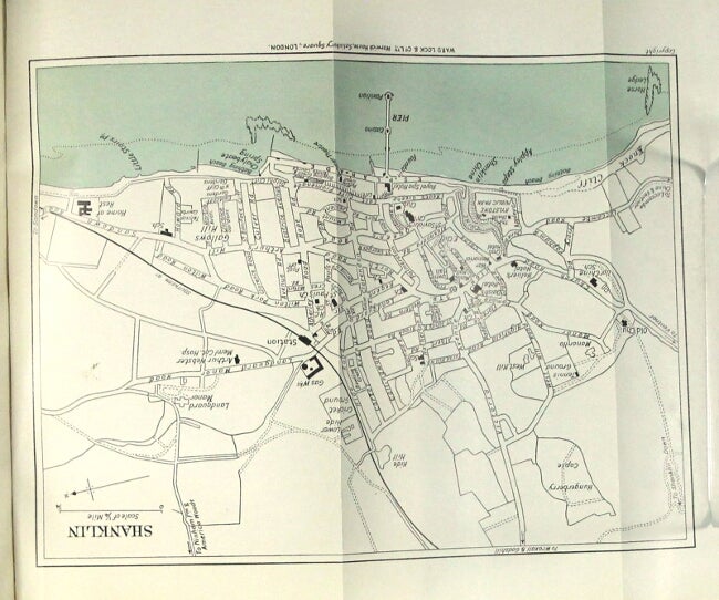
A pictorial and descriptive guide to the Isle of Wight with map of the island, plans of Ryde, Sandown, Shanklin, Ventnor, Cowes, Newport and Carisbrooke. One hundred illustrations. Twenty-second edition, revised
London: Ward, Lock & Co., n.d., [ca. 1930]. 12mo, pp. xvi (ads), xv, [1] ads, 184, 64 (ads); ads on endpapers, folding map printed in 2 colors, 6 (5 folding and printed in 2 colors), 5 sketch maps, and numerous plates from photographs; a very good copy in original pictorial limp red cloth printed in black. Many citations in OCLC for the Ward, Lock guides, but not that for the Isle of Wight. Item #27731
Price: $50.00
See all items in
Guide Books,
Travel