

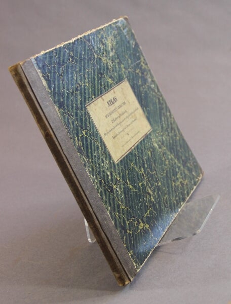

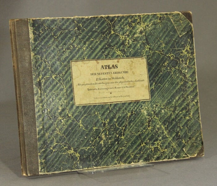
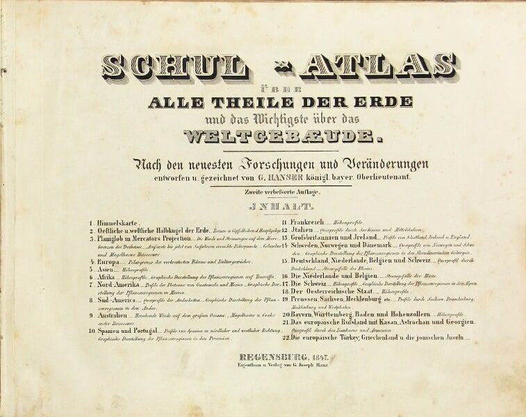
Schul-atlas über alle theile der erde und das Wichtigste über das weltgebæude.
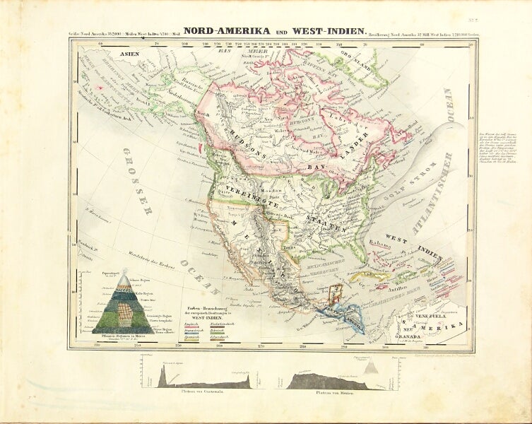
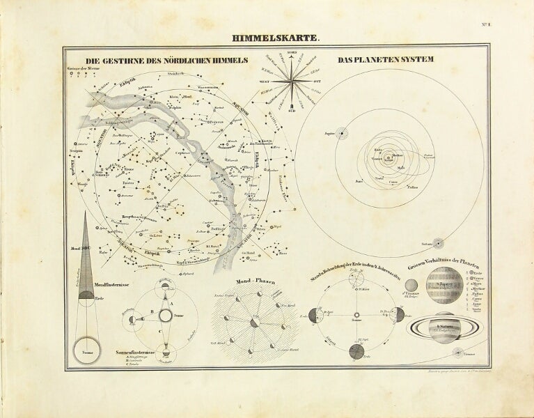
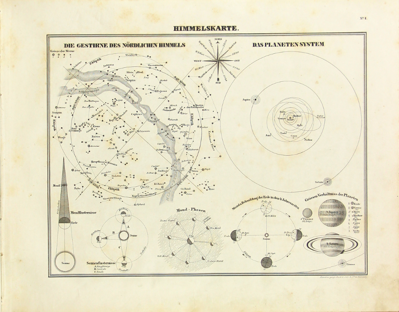
Regensburg: Eigenthum u. Verlag von G. Joseph Manz, 1847. First edition, oblong 8vo, pp. [2]; 22 maps on 21 plates; original brown calf over marbled boards, printed paper cover label; binding rubbed, label stained, light foxing to some of the maps, but overall very good. Includes a star map, a surface area map of the globe, planiglobe "in Mercator's projection" along with maps of the continents and some European countries. Item #31843
Price: $500.00
See all items in
Cartography
See all items by G. Hanser