![Item #34458 官許新刊輿地全圖 [Kankyo shinkan kochi zenshu.] = New version of world map](https://rulon.cdn.bibliopolis.com/pictures/34458_1.jpg?width=768&height=1000&fit=bounds&auto=webp&v=1613418213)
![官許新刊輿地全圖 [Kankyo shinkan kochi zenshu.] = New version of world map](https://rulon.cdn.bibliopolis.com/pictures/34458_2.jpg?auto=webp&v=1613418213)
![官許新刊輿地全圖 [Kankyo shinkan kochi zenshu.] = New version of world map](https://rulon.cdn.bibliopolis.com/pictures/34458_3.jpg?auto=webp&v=1613418213)
![官許新刊輿地全圖 [Kankyo shinkan kochi zenshu.] = New version of world map](https://rulon.cdn.bibliopolis.com/pictures/34458_4.jpg?auto=webp&v=1613418213)
![官許新刊輿地全圖 [Kankyo shinkan kochi zenshu.] = New version of world map](https://rulon.cdn.bibliopolis.com/pictures/34458_5.jpg?auto=webp&v=1613418213)
![官許新刊輿地全圖 [Kankyo shinkan kochi zenshu.] = New version of world map](https://rulon.cdn.bibliopolis.com/pictures/34458_6.jpg?auto=webp&v=1613418213)
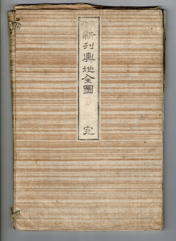
官許新刊輿地全圖 [Kankyo shinkan kochi zenshu.] = New version of world map
Tokyo: Heishiro [?], 1861. Large, folding hand-colored world map approximately 53" square (map itself is approx. 38" x 50"), the map surrounded by 158 hand-colored flags of nations, states, etc., with detailed tables at the bottom giving statistics on the world's largest rivers, mountains, lakes, islands, countries and their populations, capitals, ports, distribution of fauna, table of distances, etc.; the map itself detailed with ice berg limits, shoals, ocean currents, and tracks of famous voyages. The whole folding down into a small folio (13" x 9"), with blue raw silk covers, printed paper label on upper cover; contained in its original decorative paper folding sleeve, secured with thongs in the Oriental manner, with a printed title page laid down as an endsheet, and another printed paper label on the upper cover. The box is worn, with a few small cracks and splits, but the map itself, together with the blue silk covers, is fine and bright, and the whole very appealing visually. Originally published in 1857. Item #34458
Price: $9,500.00