
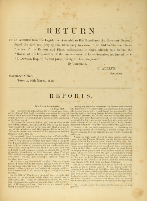
Report on the exploration of the country between Lake Superior and the Red River settlement, and between the latter place and the Assiniboine and Saskatchewan ...Published by order of the Legislative Assembly.
Toronto: John Lovell, 1859. First edition, folio, pp. 45; folding map of North America, large folding profile of the route by Grand Portage and the Pigeon River from Lake Superior to Rainy Lake, and a very large folding map (approx. 79" x 47") of the region between Fort William (i.e. Thunder Bay) on Lake Superior and the Great Saskatchewan River; original black calf-backed purple cloth-covered boards, printed paper label on upper cover; hinges reinforced with cloth tape, the maps a little spotted and the large one with some splits at the folds, otherwise internally very good. Sabin 18958; TPL 3885. Item #38254
Price: $500.00
See all items by S. J. Dawson