
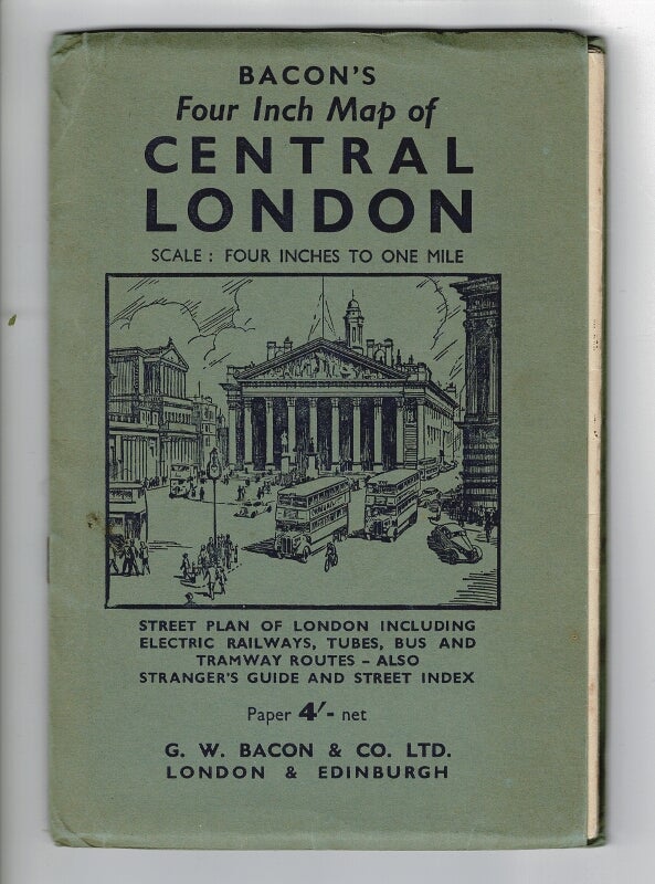
Bacon's four inch map of Central London
London: G.W. Bacon & Co. Ltd., [n.d.] (c. 1940's). Folding map in color (scale: four inches to one mile) which folds to approx. 8'x5'; some minor tears at folds, else very good in lightly creased pictorial green wrappers. Street plan of London including electric railways, tubes, bus and tramway routes - also stranger's guide and street index. Item #43985
Price: $40.00
See all items in
Cartography,
Travel