![Item #53083 大日本海陸全圖 [Dai nihon kairiku zenzu] =Complete naval map of Japan. Seiken Gengyo.](https://rulon.cdn.bibliopolis.com/pictures/53083_1.jpg?width=768&height=1000&fit=bounds&auto=webp&v=1546619706)
![大日本海陸全圖 [Dai nihon kairiku zenzu] =Complete naval map of Japan](https://rulon.cdn.bibliopolis.com/pictures/53083_2.jpg?auto=webp&v=1546619706)
![大日本海陸全圖 [Dai nihon kairiku zenzu] =Complete naval map of Japan](https://rulon.cdn.bibliopolis.com/pictures/53083_3.jpg?auto=webp&v=1546619706)
![大日本海陸全圖 [Dai nihon kairiku zenzu] =Complete naval map of Japan](https://rulon.cdn.bibliopolis.com/pictures/53083_4.jpg?auto=webp&v=1546619706)
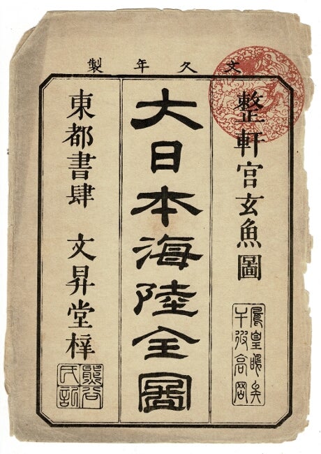
大日本海陸全圖 [Dai nihon kairiku zenzu] =Complete naval map of Japan
Touto, Tokyo: Ebisuya Shoushichi, 1864 (Bunkyuu 4). Large folding map; 28.25" x 38.5"; hand-colored woodblock print; cities, districts, and castle towns, waterways, and distances from port to port; original stiff paper boards, title label on covers; the paper is clean but extremely brittle, resulting in significant tears along the folds. A revision of a map by Nagakubo Sekisui (the first Japanese cartographer to employ lines of longitude and latitude), and notable for its inclusion of the disputed Dokdo/Takeshima islands. Item #53083
Price: $200.00
See all items by Seiken Gengyo