![Item #57942 California's golden chain ... The mother lode highway [cover title]. The Golden Chain Council highway map of the northern and southern mines. William Wintle, cartographer.](https://rulon.cdn.bibliopolis.com/pictures/57942_1.jpg?width=768&height=1000&fit=bounds&auto=webp&v=1610992963)
![California's golden chain ... The mother lode highway [cover title]. The Golden Chain Council highway map of the northern and southern mines](https://rulon.cdn.bibliopolis.com/pictures/57942_2.jpg?auto=webp&v=1611876409)
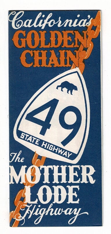
California's golden chain ... The mother lode highway [cover title]. The Golden Chain Council highway map of the northern and southern mines
Oakland: Creative Lithograph Co. for The Golden Chain Council of the Mother Lode, n.d., ca. 1960. 12-fold self-mailer highway map opening up to a large pictorial map approx. 22" x 17" with 16 vignette illustrations in the border and many other small illustrations within the map itself; the verso also with illustrations and detailing sights and landmarks county by county. Delineation and cartography by William Wintle. Map encompasses most of the Sierra Nevada, from Mohawk in the north to Fresno in the south, Sacramento in the west to Mono Lake in the east, the main feature being Highway 49. Folded, as issued; fine. Item #57942
Price: $65.00
See all items in
California,
Cartography
See all items by William Wintle, cartographer