
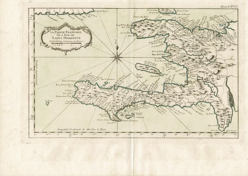
La partie Francoise de l'isle de Saint Domingue
[Paris: Jean-Baptiste Croisey, n.d., 1764]. Double-page engraved map hand-colored in outline, approx. 12¼" x 17¾" overall (image size 8½" x 13½"); central fold, else very good. What is shown of the island is what is now modern-day Haiti. Map no. 95 from Tome I, extracted from Bellin's Le petit atlas maritime, 1764. Relief shown pictorially. Item #59283
Price: $150.00
See all items by Jacques Nicolas Bellin