
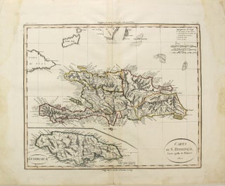
Carta di S. Domingo Giusta quella di Poirson
[Milan: 1821. Engraved double-page map hand-colored in outline (approx. 17" x 21" overall; image size approx. 13" x 16"); slightly stained in the margins, some wrinkling; all else very good. Italian map of Hispaniola (incorporating Haiti and Santo Domingo), with a large inset map of Jamaica, based on the work..... More
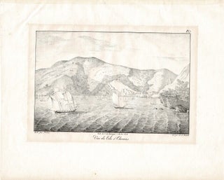
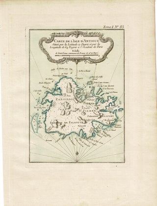
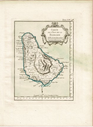
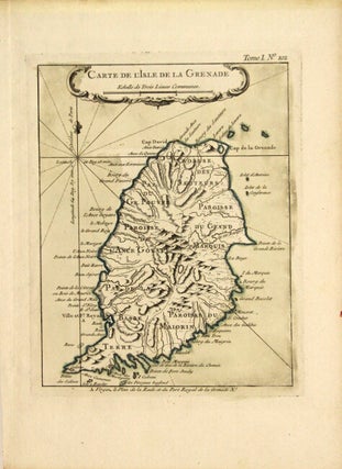
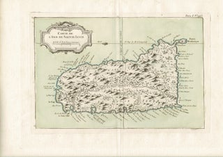
![Item #59232 Partie occidentale de l'isle de la Guadeloupe, appellée la Basse Terre. [With:]...](https://rulon.cdn.bibliopolis.com/pictures/59232_1.jpg?width=320&height=427&fit=bounds&auto=webp&v=1633978527)
![Item #56385 Freaks of the Jagüey, from nature [envelope title]. Charles D'Wolf Brownell](https://rulon.cdn.bibliopolis.com/pictures/56385_1.jpg?width=320&height=427&fit=bounds&auto=webp&v=1596737922)

![Item #67595 Virgin Islands dictionary [wrapper title]. George A. Seaman](https://rulon.cdn.bibliopolis.com/pictures/67595_1.jpg?width=320&height=427&fit=bounds&auto=webp&v=1722624693)

